PRICING GUIDE
Drone Imaging & Data Collection Services Pricing Guide
Drone pricing varies depending on the type of service, site access, travel, airspace, approvals, risk level, deliverables and editing requirements. This guide provides general estimate ranges for common commercial drone services across the Illawarra, Shoalhaven and Southern Highlands.
All prices shown are initial estimates only. Final pricing may change once permits, approvals, site conditions, travel, weather windows and deliverables have been confirmed.
Pricing Overview
How Pricing Works
Every drone project is different, so pricing is based on scope rather than one flat rate.
Estimates consider the service type, site location, travel, airspace, safety planning, flight time, deliverables and post-production requirements.
Professional Drone Imagery provides initial estimates based on the information available at the time of enquiry.
Final pricing may change if additional approvals, permits, access requirements or editing needs are identified during project review.
Construction
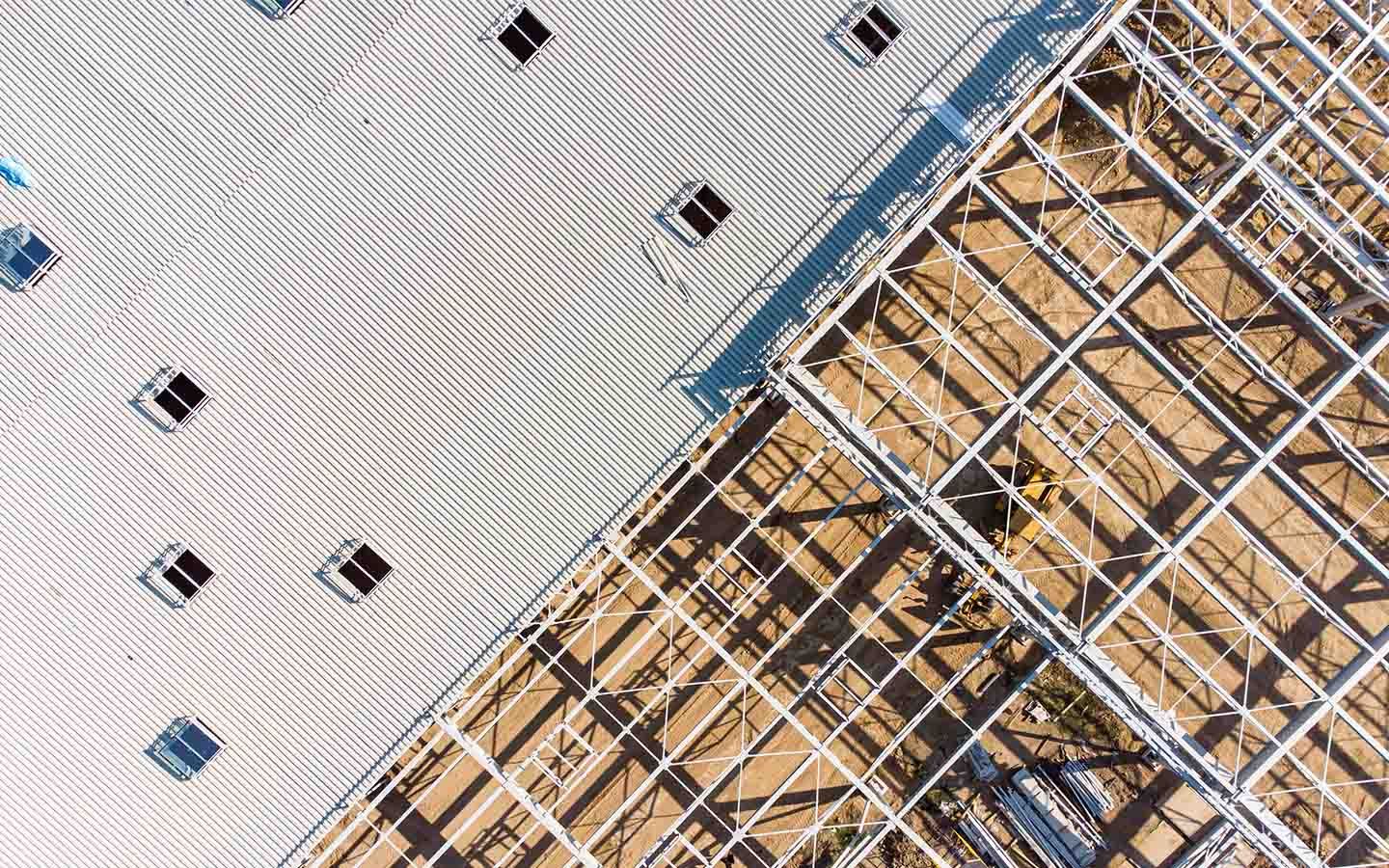
Construction drone services are usually priced by site size, access requirements, visit frequency and deliverables.
Progress updates, site overviews, stakeholder imagery and visual reporting often start from around $450 and increase for larger or repeat-visit projects.
- Data collection
- Progress tracking
- Timelapse
- Live streaming
- Builder and developer marketing
- Stakeholder reporting
- Regular site updates
Thermal
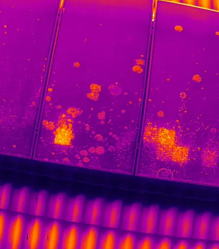
Thermal imaging and inspection work often sits above basic photography pricing because it requires more planning, specific capture requirements and additional processing.
Estimates vary based on the number of assets, data collection needs, reporting needs, and whether thermal-only or thermal plus visual outputs are required. Can start from as little as $180 for small residential inspections.
- Rooftop checks
- Solar inspections
- Building diagnostics
- Hard-to-access assets
- Energy efficiency annual checks
- Insurance Assessments
Real Estate
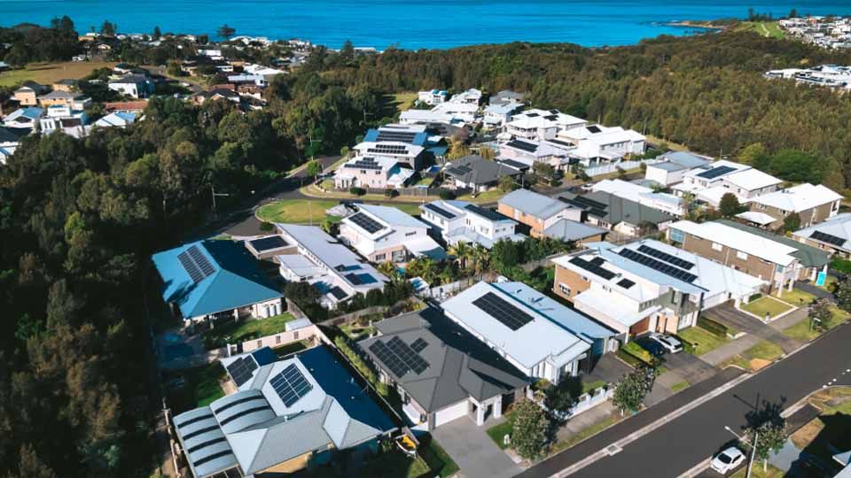
Basic real estate commercial and residential aerial photography often starts around $150 to $300, while larger properties, premium listings or combined photo and video packages commonly range from around $250 to $500+.
Final pricing depends on property size, access, deliverables and whether editing or additional content is included.
- Residential listings
- Acreage and large properties
- Prestige homes
- Property marketing content
Why estimates can change
Even after an initial estimate is provided, final pricing may change if the project requires permits, controlled airspace approvals, extra travel, multiple site visits, revised deliverables or additional editing.
These factors are common in commercial drone work and are part of delivering safe, compliant and reliable results.
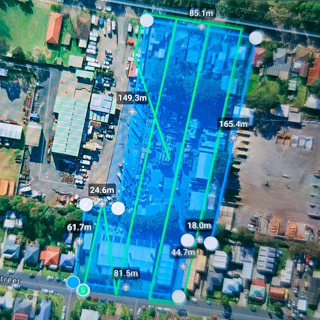
Mapping & Surveying
2D mapping, 3D modelling and surveying-style drone capture are generally priced by site size, complexity, data accuracy and processing requirements.
Smaller jobs may begin from several hundred dollars, while larger or more technical projects can run into the thousands.
- Orthomosaic mapping
- Site overviews
- Land and asset documentation
- Planning and project support
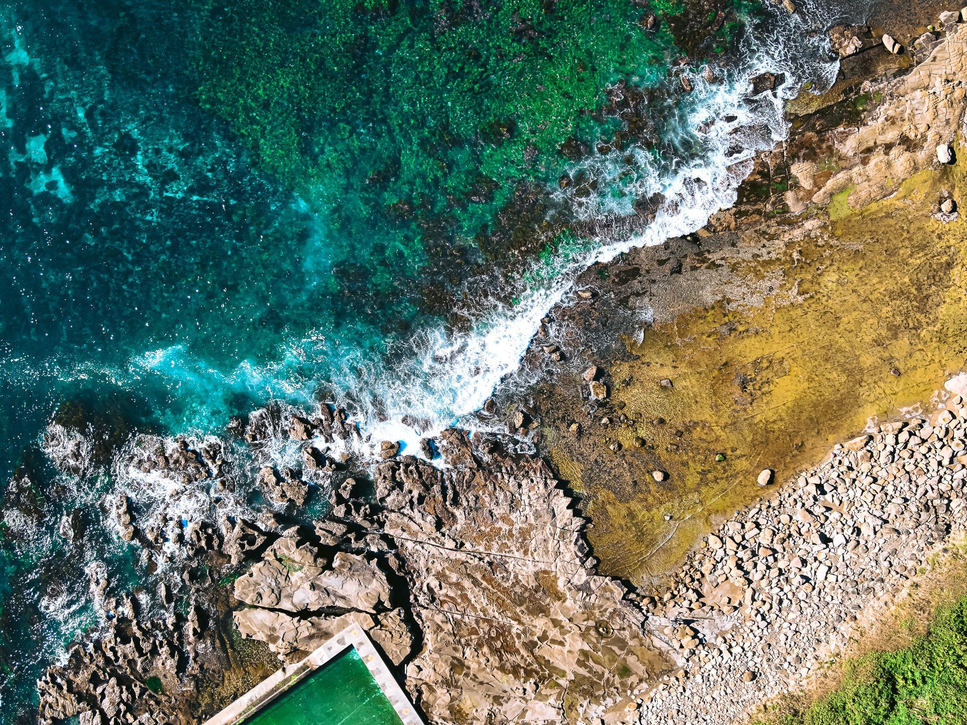
Aerial Photography
Commercial aerial photography in Australia commonly ranges from about $200 to $350 per hour, or from around $150 to $1,500+ per project depending on scope.
Smaller one-off shoots sit at the lower end, while larger commercial projects, multi-location work or additional editing increase the estimate.
- Business marketing
- Tourism and destination content
- Builders and trades
- General commercial imagery
- Insurance Assessment imaging
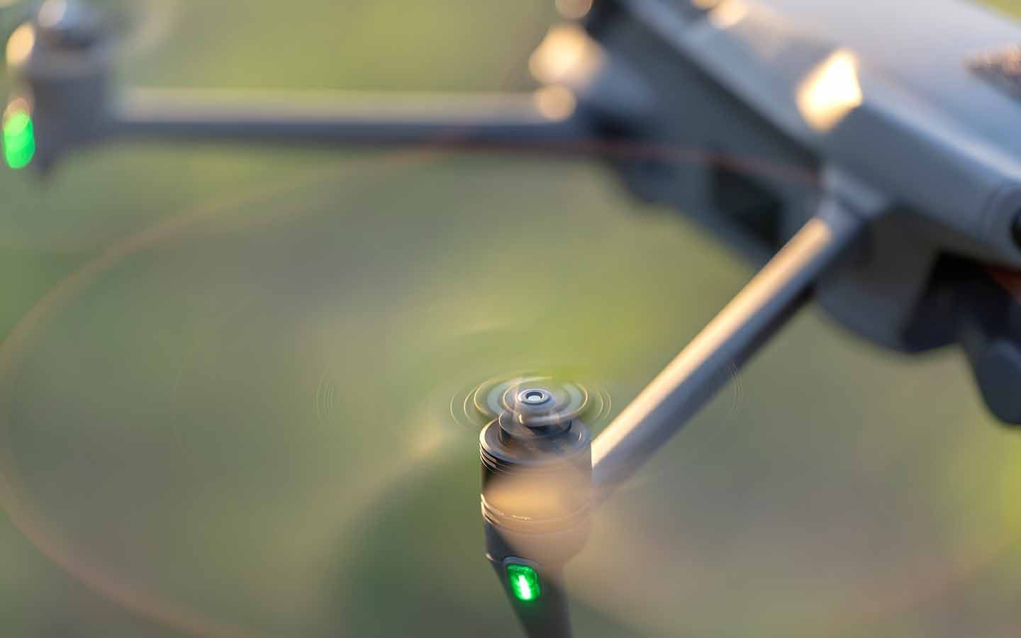
Aerial Videography
Drone videography usually carries a higher rate than still photography because it often includes extra planning, longer flight time and more editing.
Commercial videography commonly ranges from around $250 to $400 per hour, with final pricing shaped by length, complexity and delivery format.
- Promotional videos
- Social media content
- Event coverage
- Business storytelling
- Insurance Assessment imaging
Drone Project Readiness Check
Not sure what your project needs yet? Complete the Drone Project Readiness Check to identify likely requirements before requesting an estimate.
Find out in less than 2 minutes.
Disclaimer
Pricing on this page is a guide only and all amounts are indicative estimates, not fixed quotes. Final pricing may vary after project review, permit or approval requirements, airspace and safety assessment, access conditions, travel, editing scope and delivery requirements are confirmed.
Pricing FAQ
-
Are these fixed prices?
Our pricing is tailored to each project because no two jobs are the same. Costs depend on your location, imaging requirements, permits, equipment, time on site and the deliverables you need. Contact us with your project details and we’ll provide a clear, itemised estimate.
-
Can permits or approvals affect pricing?
Yes. Controlled airspace, special permissions, access restrictions and additional safety planning can all affect the final estimate
-
Do you travel outside the Illawarra?
Yes. Travel across the Shoalhaven, Southern Highlands and other locations can be included, but travel time and site access may affect the estimate.
-
Can multiple services be combined into one estimate?
Yes. Photography, video, mapping and inspection services can often be bundled into one project estimate depending on scope and deliverables.
Very professional thank you Heather... PDI were very organised, easy to deal with and managed the whole process with great ease. Highly recommend working with Heather!
Mark d.